|
How to get to ( and leave from ) Willersey Village.
Coordinates: 52°03'00"N 1°50'49"W / 52.05°N 1.847°W
Walk
Willersey is about 1.7 miles from Broadway depending on your route.
You can walk along the Broadway and Leamington Roads or there are about three different footpath routes which make for more pleasant walking.
The most comprehensive map of footpaths are on Ordnance Survey map OL45 or you can buy a cheaper Complete Footpath Guide to
Broadway from places such as the Tourist Office near to the Co-op or Broadway Tower. If you are walking your dog then
this leaflet from Gloucester County Council may be useful.
Footpaths in Willersey have changed little over the years other than some diversions caused by some housing developemnts. All the footpaths are now
registered under the Footpaths and Countryside Act 1949.

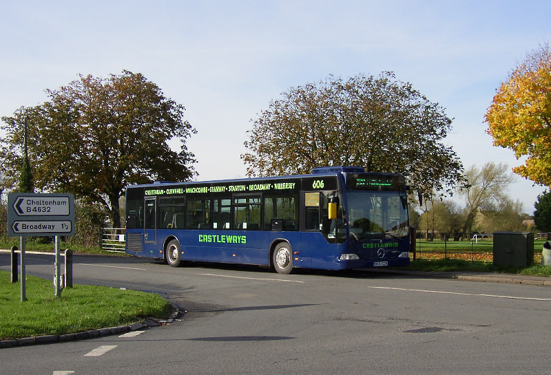
One possible route is first to take a bus to Broadway. Start at the front of the Lygon Arms,
turn left, head past Lloyds Pharmacy and take the path
through to the Co-op. Go down Gordon Close to the thatched house, turn right and go along the footpath, through the gate at the end,
leftish and keep going ahead. Eventually you will pass some houses on your right. Keep straight ahead through a small wood. Go through a
farm gate, past a stable on the left and cross some more fields. Follow the path through some more vegetation and go under the Broadway
bypass through a tunnel. Cross another field, go over the stream bridge, turn left and just keep going. Eventually you will arrive in Collin Close.
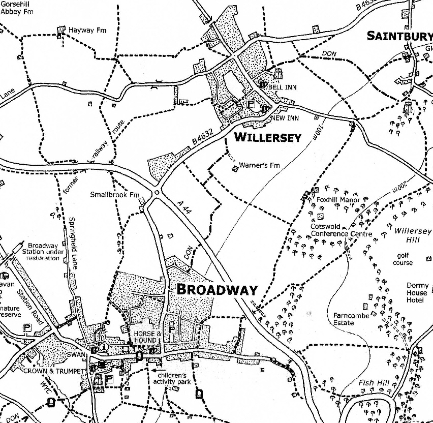
Turn right, and after 100 yards/metres turn left onto Blind Lane which brings you to Main Street by the village pond. Click on the map for more detail. Enjoy.
To come back by a slightly longer different route, go up Broadway High Street and then continue past the traffic roundabout to the Upper High Street.
turn left into Bibsworth Lane and take a tunnel under the bypass. You will now be on a footpath. Take the left fork and keep going straight on
past Foxhill Manor and the Fish Inn. You will eventually arrive at Campden Lane. Turn left and head downhill to Willersey.
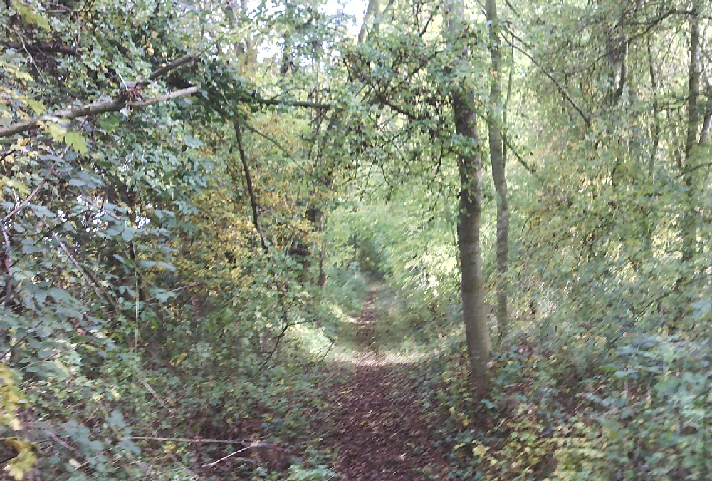
An alternative walk to Broadway is the old railway track.
This is longer but its a good walk - maybe take some cutters if the brambles have grown!
Willersey Parish Council in the past published a booklet of six walks around Willersey. Click here for scans of the booklet.
Walking in Gloucestershire contains hundreds of free walks to download and print.
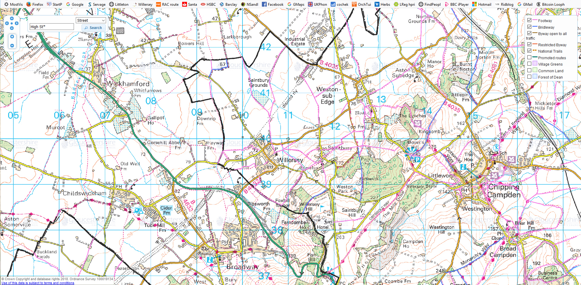
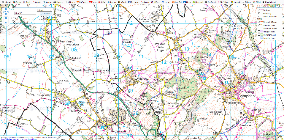
Click on the map below for a larger image. On this map Defined Footpaths in Gloucestershire are in pink and bridle paths in blue. The black line is the boundary with Worcestershire so its
Defined Footpaths are on a different map. In the year 2026 unrecorded pre 1949 public rights of way will cease to exist if not specifically preserved. If you see an omission do let Willersey Parish Council know.
Technically the legal map is in the map room at Shire Hall in Gloucestershire.
Here is the definitve map for Worcestershire. Zoom in to see the footpaths. You may need to access both maps to get a complete picture.
Willersey Parish Council is keen that all footpaths in Willersey are on the defined map. The following documents can help you with this.
Information Sheet.
Online path resources.
Covering Letter from Cotswold DC.
This could be a useful walking and cycling resource.
Bicycle
The shortest route is along the Leamington Road. If you are coming from the East, take care descendng Fish Hill which is steep and
exhilarating but could be dangerous. There is a quieter route down Campden Lane
but it is one of the steepest roads in the North Cotswolds.
Riding up is a definite challenge. This is a very old road. The hard limestone of the Cotswolds wears down at a rate of 2 inches per century,
thus giving this road an age of 10,000 years. A slightly flatter route goes through Saintbury.
The route from Evesham is much flatter and for the quiet life use Badsey Lane rather than the A44.
From Stratford-upon-Avon the B4632 road is undulating but can be busy at peak times.
Go to top Home Page
Car
|